


18/05/2006
Communication à Plymouth

students create their own “virtual geological field trip” with ©Geonote
One of the most interesting challenges in using ICT in the classroom is perhaps to consider that technology allows teachers to imagine news student activitie
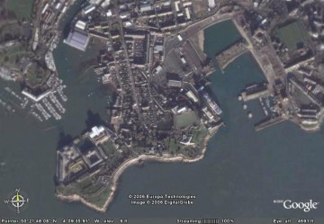 Geonote can be used in two ways. The visualization mode allows students to deal with geological data by using the available tools or to shift to edition mode and to create their own “virtual geological field trip” by creating new geological data and by georeferencing those data on a map.
Mercredi 10 mai 2006, communication à Plymouth dans le cadre du séminaire :
 télécharger le poster de la communication (pdf)
To download the poster of the communication (pdf)
22:10 Publié dans Ecole de terrain/Fieldwork | Lien permanent | Commentaires (0)
04/05/2006
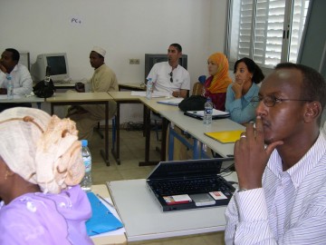
Formation à Djibouti : démarche d'investigation dans l'enseignement des SVT
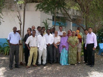 La formation s’est déroulée du 19 au 25 mars 2006 pour partie au CFPEN et au lycée d’état de la ville de Djibouti. Quatre thèmes ont pu être travaillés avec les stagiaires :
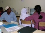
 - la place des activités de travaux pratiques et les rôles de la manipulation dans une démarche d’investigation ;
22:05 Publié dans Enseignement des ST/teaching Geosc. | Lien permanent | Commentaires (0)
Coménius, un blog dédié à l'enseignement des sciences de la Terre
 Bienvenue sur mon blog. Vous y trouverez différentes informations sur les travaux de recherche que je conduis dans le domaine de l'enseignement des sciences de la Terre, et en particulier l'utilisation des TIC, ainsi que des logiciels à télécharger utilisables dans les classes.
Au menu : Géonote, le Calendrier Géologique et Chronocoupe, des logiciels pour l'enseignement des sciences de la Terre et quelques réflexions sur l'utilisation des TIC, la construction de protocoles et sur la classe de terrain en sciences de la Terre.
E. Sanchez
22:00 | Lien permanent | Commentaires (0)