
Innovative Fieldwork Supported by ICT
students create their own “virtual geological field trip” with ©Geonote
E. Sanchez, M. Prieur
One of the most interesting challenges in using ICT in the classroom is perhaps to consider that technology allows teachers to imagine news student activitie

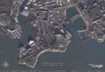
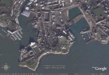
s which would be impossible to realise without ICT. Moreover a wide range of ICT tools used by scientist and also by other fields of activity can be introduce in the classroom to promote innovative ways to teaching and learning. Following these considerations the software ©Geonote has been developed. Geonote includes geological data such as minerals, rocks, outcrops and landscape photographs, topographic and geological maps, geological information and a wide range of tools to access and process these data and to carry out scientific investigation. The interface of the software (fig. 1) includes the following four windows. (a) Geological data which allows students to access to geological data. These data are georeferenced on a map and students can access them by clicking on relevant geological points (crosses on the map). The map has some GIS’ properties. Students can mix different types of information such as geology or topography by using transparencies. They can also discover each geological data such as maps and photographs by accessing the commentary, zooming-in and measuring. (b) The information window allows students to access to non-georeferenced information such as geological schemes, key maps. (c) History which indicates all the data accessed by students and allows data annotation with key words. (d) writing-pad which is a basic word processor.
 Geonote can be used in two ways. The visualization mode allows students to deal with geological data by using the available tools or to shift to edition mode and to create their own “virtual geological field trip” by creating new geological data and by georeferencing those data on a map.
Mercredi 10 mai 2006, communication à Plymouth dans le cadre du séminaire :
Supporting fieldwork using information technology, Robbins Conference Centre, University of Plymouth, Devon
 télécharger le poster de la communication (pdf)
To download the poster of the communication (pdf)


 Geonote can be used in two ways. The visualization mode allows students to deal with geological data by using the available tools or to shift to edition mode and to create their own “virtual geological field trip” by creating new geological data and by georeferencing those data on a map.
 télécharger le poster de la communication (pdf)
Les commentaires sont fermés.